

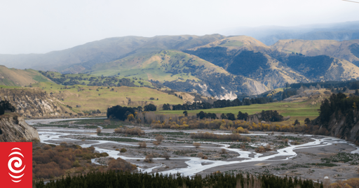
This is pretty interesting! I like the bits where they show the 1950s aerial view vs the present ones to show how the river changed.
This is pretty interesting! I like the bits where they show the 1950s aerial view vs the present ones to show how the river changed.
That was the maths I was working with too - but seemingly there’s two parts to it, capacity between the banks and flow rate of the river in flood and for the latter wider is better.
So presumably you can build lower, cheaper stop banks further apart for slower flood velocity and less risk of stop bank failure at the expense of more risk of stop bank overtopping.