

Before MapQuest, you’d carry around a six county atlas, and a state map. If you had to go somewhere outside the metro area, you’d use the state map to get to the city, then stop at the first gas station you saw there to look at their map on the wall, or ask to look at their phone book for the map in there.
Ew, people.
Better yet, stop at the rest stop at the state border and pick up a free state map, which included insets of the large cities.
Pro tip: Those maps are still there.
They never restock them though. Somehow they are always out. (At least for the last few years they have been)
However, you can use OSM offline pretty easily and if you want a physical map you can print it. (For those of us who want control)
I know, but my phone is more convenient.
We had those big red atlases (Atli?) with the glossy covers from over half the US states, and smaller maps for all the counties in Virginia, NC, SC, and about half of TN. Huge ass stack of em in both door panels, under each seat, and several on the back seat. My brother collected them whenever he could. I think he’s still depressed he never finished his collection before giving up and finally getting a gps (only like 2 years before decent smart phone gps)
Atli
I’m pretty sure the proper form is Atlapodes.
Gonna split the difference. Atlapodii
I’m just gonna do the English thing and mix my Latin and Greek without carrying about form or origin. We can settle for Atlapodae, or Atlasae.
The singular isn’t “atlus.” Atlases is correct.
Nope, up thread we figured out the correct form. Atlapodii.
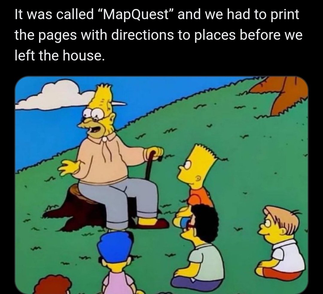
Haha yeah. MapQuest. That’s old school, you silly geezers. Let’s get ya to bed.
Slowly folds up his road atlas hoping no one notices
Rand McNally with all the folds <kiss>
I still keep a state map stowed in the pocket behind the driver’s seat. You know, just in case.
Fun fact: Michelin stars come from the before times where Michelin would print a yearly road guide with maps and locations and would give stars to the best places. The guide was so popular that getting a Michelin star became a thing. When printed maps ended the stars remained. That’s why a tire company became synonymous with best restaurants
Bruh, I remember being excited to be the one to stay up in the passenger seat with the atlas overnight making callouts from the highlighted route. A child never felt so important, needed, and critical to the operation.
look at what they took from us
“Sometimes, you just had to stop and find someone to ask for directions…”
That’s honestly still a good answer. The locals know best
Unless the local is me. I am terrible at giving directions. “Go that way for like, three… maybe four intersections. Turn left when there’s like a store or something on the side of the road. When it seems like the right time, turn left again, and then like… uh… there’s a tree… You know what, let me just give you the address and hope that GPS works out for you.”
Go for a while and then make a right. Do this 4 times
Wait until you find out what people did before computers
Had to make a stop at AAA to pick up an atlas before leaving for long road trips.
Although depending on where you are you could just memorize the route. A lot of the cross state travel is just a matter of getting on a highway and staying there for 10 hours. (At least in the US)
I remember navigating for my dad as a kid using a physical street map. It was a great feeling tracking your position on the map and telling the driver what turn to make next.
But nothing beats the convenience of having a small rectangle that automatically calculates routes for you, especially when travelling alone.
don’t forget the stack of quarters for when you inevitably have to stop and use a payphone
i used to have to buy printed maps from the magazine racks at the grocery stores back in the 80s
And you had to figure out how to fold those.
Forgot about that half the time something was folded wrong
i have a shoe box full of them. every time i think about throwing them out, i can’t. some of them are the nice laminated ones!
Oohhhh I forgot about those!!!
Even that was a massive technological improvement from the days prior, when you had to buy an entire book of your city, or part of the city if you lived in a large city, and then plot your own course, and write directions down, or follow a tiny map in the book as you drove.
I remember the first time I used MapQuest and I was absolutely amazed that it could just figure out the route automatically.
Rand McNally has just entered the chat
In Rand McNally, people wear hats on their feet and hamburgers eat people!
AAA did the same thing. Yellow highlighter marked the route.
I used AAA Trip-Tik or whatever it was called, a couple of times driving cross country. Worked pretty well, actually.
Pages? Like a static display made from dead trees?
Oh that’s nothing. Before then we had to commit landmarks to memory and just call back on it as you’re driving.
My grandmother still does this for some gods forsaken reason and somehow is worse at it than me. Mind you ive been having to track down adresses for work for about 3 years now but c’mon.
I went camping with my family last week somewhere with no signal. I got there fine, but when it was time to leave I had to just follow roads a general direction until I got signal again (and backtrack the hour I went the opposite way).
I had downloaded an offline map on Google maps but it just wasn’t working. Wish I had printed it!


